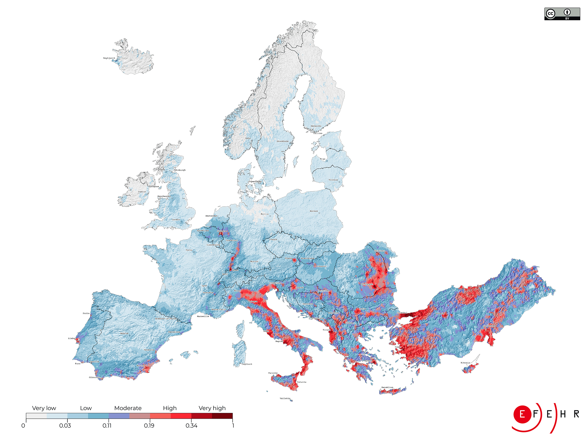
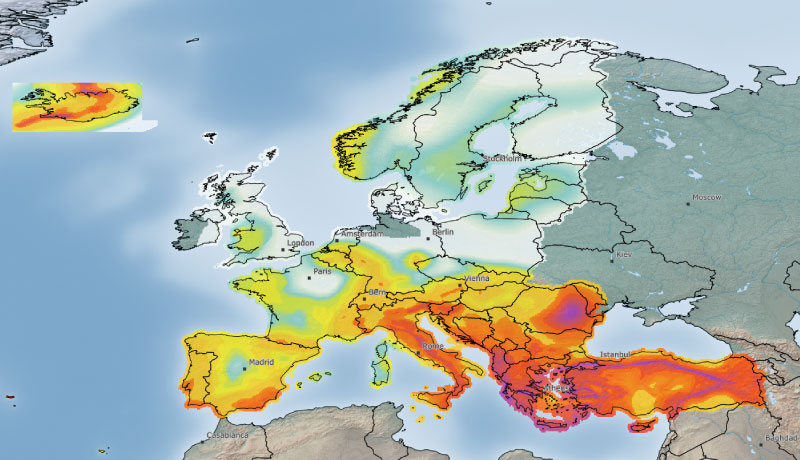
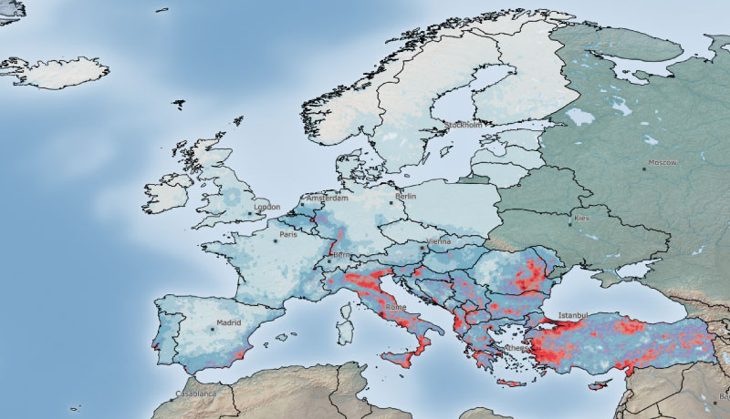
In 2015, the United Nations International Strategy for Disaster Risk Reduction (UNISDR) released the Global Assessment Report (GAR, 2015), which used probabilistic earthquake risk assessment to estimate the uniform average annual losses (AAL) for a number of perils, including earthquakes, at the global scale. Given that this model had a global application, it was not developed with the same level of detail and knowledge as Europe’s first openly available earthquake risk model. In contrast, the European Seismic Risk Model is a region-specific model, making use of many open datasets and methodologies applicable for Europe. For example, whereas the European exposure model has been developed by collecting dwelling and building census data from each country in Europe, and by involving local earthquake engineers in the classification of the buildings, the GAR exposure model was based on a top-down approach, whereby national/regional population, socio-economic data, and building-type information were used as proxies to estimate the spatial distribution of asset replacement costs and building counts.
In 2018, the GEM Foundation released the Global Seismic Risk Map (GEM, 2018), developed using a mosaic of individual risk models which were produced as part of regional programmes or bilateral collaborations between GEM and national institutions. Some of the partners involved in developing the 2020 European Seismic Risk Model collaborated with GEM for the European component of the global map, but there have been significant developments in the seismic hazard, vulnerability, and exposure models since the model release in 2018.
Another key characteristic of this European earthquake risk model that distinguishes it from other models is that the underlying datasets have been openly published and licensed under a Creative Commons Attribution 4.0 International License. The methods used to develop the input models have been clearly documented, thus allowing reproducibility of the model and the risk results.

