What is earthquake risk?
Information about earthquake risk, also referred to as seismic risk, describes the potential impact on the built environment and on people's well-being due to future earthquakes. Although it is known which regions of Europe are prone to earthquakes, the location, frequency and impact of future earthquakes cannot be precisely predicted. However, efficient mitigation measures derived from earthquake risk assessments provide a means to proactively reduce their impacts and thus minimise economic and human losses.
In order to determine earthquake risk, information on the density of buildings and people (exposure), the vulnerability of the built environment, and robust earthquake hazard assessments, including the impact of local soil conditions, are needed.
How to compile earthquake risk?
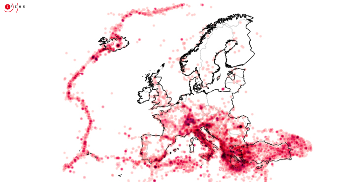
Four factors need to be combined to assess earthquake risk. First, the definition of earthquake risk requires a comprehensive understanding of the earthquake hazard. Earthquake hazard assessment is based on knowledge of past earthquakes, geology and tectonics, and takes into account various factors that may affect the strength of the shaking at any given locations, such as information on local soil conditions.
These factors combined with the value and occupants of buildings (‘exposure’) and their vulnerability, the earthquake risk can be estimated for any given location in Europe.
Europe's first earthquake risk model

With the 2020 European Seismic Risk Model (ESRM20), the first harmonised, openly available and reproducible assessment became available for Europe. The model significantly improves the understanding of what effects future earthquakes in Europe can have. Many European countries have not yet conducted a national seismic risk assessment. Therefore, the European earthquake risk model provides a basis upon which national authorities can further build.
According to the model, buildings constructed before the 1980s, urban areas, and high earthquake hazard mainly drive the earthquake risk. Although European countries have recent design codes and standards that ensure adequate protection from earthquakes, many older unreinforced or insufficiently reinforced buildings still exist, posing a high risk for their inhabitants.
The earthquake risk map of Europe
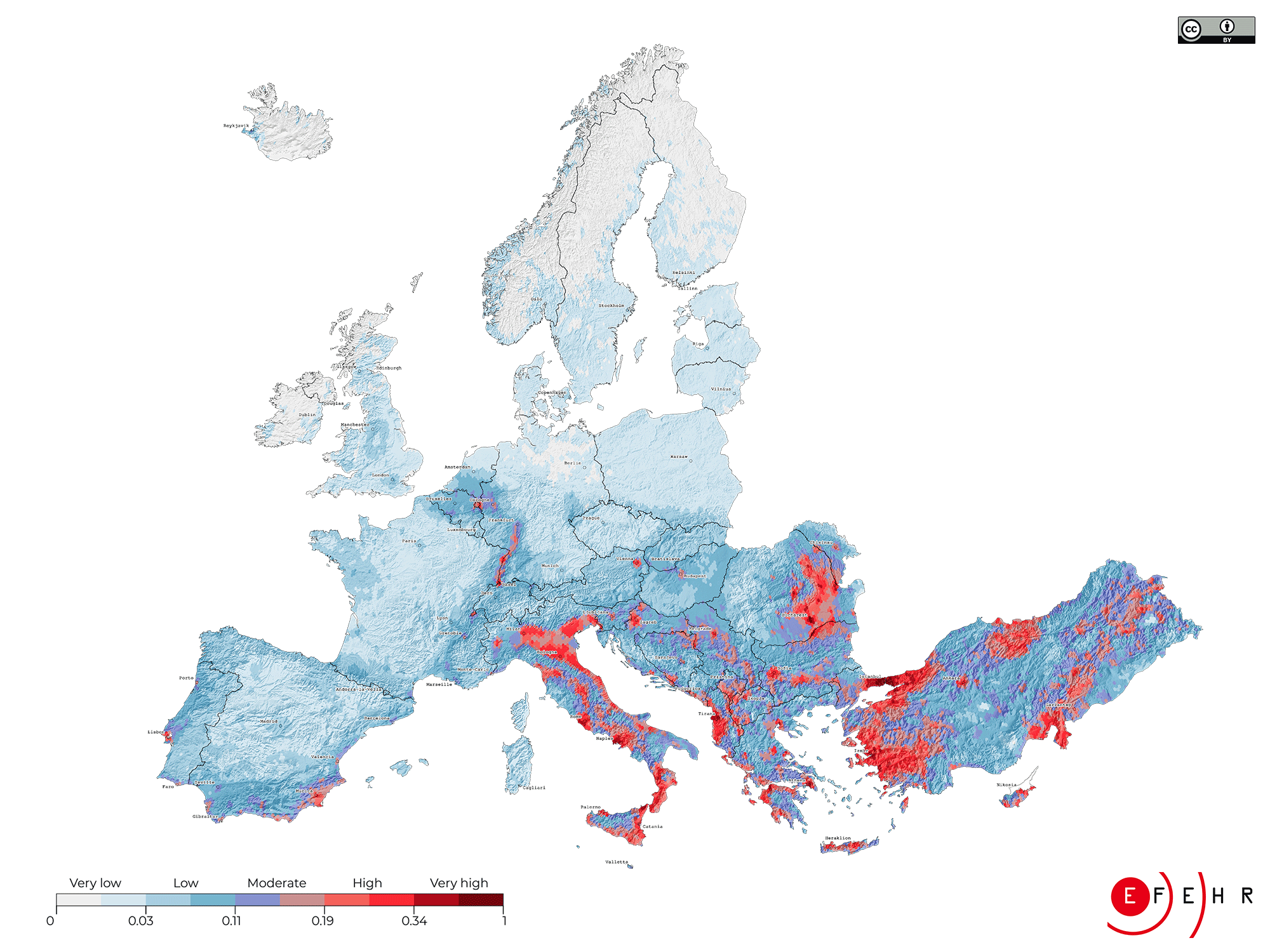
The earthquake risk map of Europe is based on the first openly available seismic risk model of Europe (ESRM20) and illustrates the relative distribution of expected risk across Europe through a composite index.
Low-risk areas are coloured from white to light blue, moderate risk areas from blue to red and high-risk areas appear in dark red.
Where are the places with the highest earthquake risk in Europe? Discover them here!
What can we learn from an earthquake risk model for Europe?
In science, models enable calculations to be undertaken to determine how something might develop in reality, e.g. financial losses due to a strong earthquake at a given place. Elaborated and documented by research teams across Europe, Europe's earthquake risk model offers all interested users a valuable reference upon which to base mitigation decisions.
1) We can better prepare for future earthquakes in Europe.

During the twentieth century, earthquakes accounted for more than 200,000 deaths and more than 250 billion Euros in losses due to damage in Europe (EM-DAT). Comprehensive information on earthquake risk helps efficiently tailor mitigation measures to prevent such economic and human losses and make communities across Europe more resilient.


